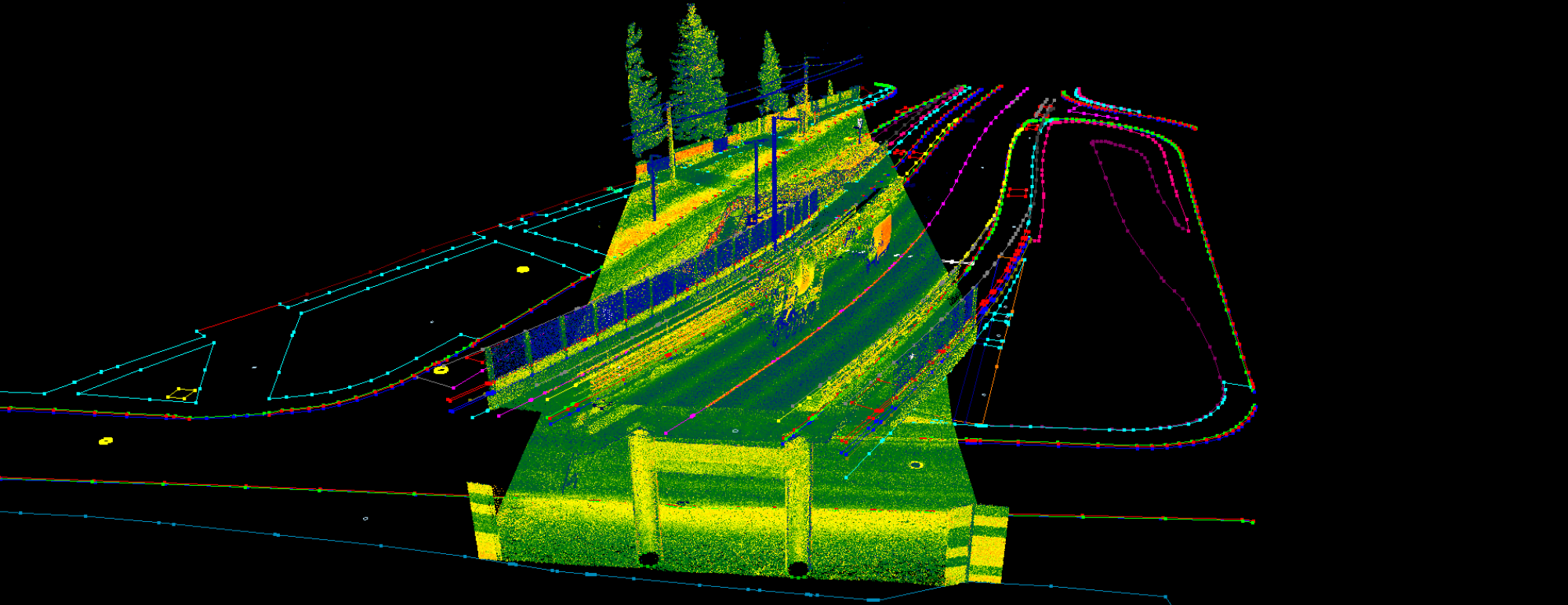
We had been eagerly anticipating this day, and it finally arrived! On March 18, 2025, we hosted the very first PointCloudScene Laser Day, bringing together land surveyors from across Hungary in Budapest. This event provided a unique opportunity to explore laser scanners, point clouds, and data processing. Our primary goal was to create a welcoming space where both newcomers and those about to embark on their journey in this field could ask questions, gain insights into the technology, and discover how PointCloudScene can support them in making the most of it.
Since PCS is developed by land surveyors, we have a deep understanding of their needs. We believe the best software is created by those who truly grasp the challenges users face. With this in mind, we carefully prepared our presentations to showcase the most relevant examples and address common questions among land surveyors. One of the most crucial concerns is how to efficiently generate CAD drawings from point clouds. As we frequently encounter this challenge, we know the best approaches and are confident that PCS provides the right solution—serving as a bridge between the CAD and GIS worlds.
Land surveying fairs and events typically cover a wide range of topics, from total stations and cadastral surveying to remote sensing. However, we wanted to create a dedicated event where the spotlight was solely on point clouds and laser scanners—where distributors and professionals could engage in meaningful discussions, not just quick chats between presentations. After announcing the event in professional Facebook groups, all available slots were filled in under 24 hours. We were thrilled by the overwhelming response and sincerely appreciate your enthusiasm and support!
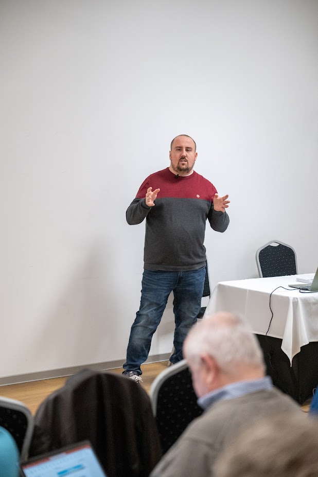
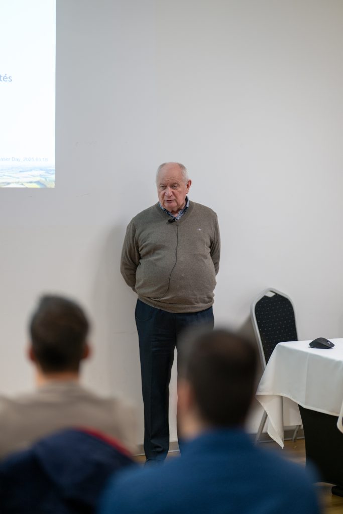
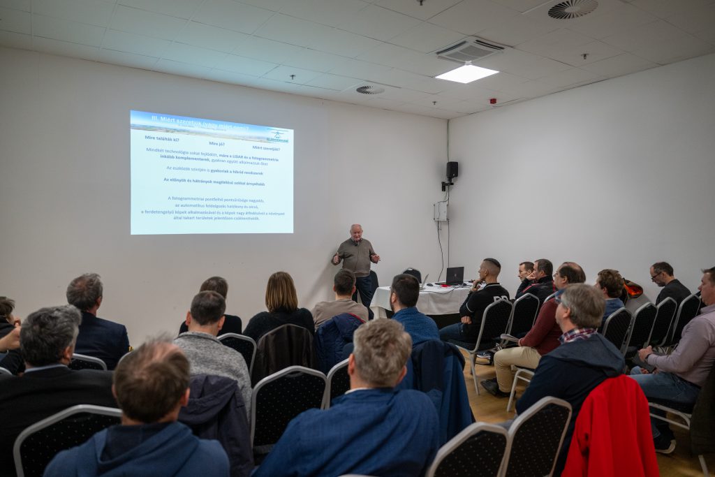
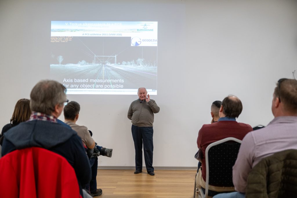
During the day, various performers have given presentations:
- Bálint Molnár – Digicart – PointCloudScene -Which scanner for what? An overlook of the available scanners and use cases, for which use case which scanner system (TLS, MLS, ALS, ULS, SLAM) is the best
- Miklós Gross – Eurosense Ltd. – The use cases of aerial laser scanning in the Hungarian practice, and how the data could be processed using PCS software to enhance efficiency
- Bálint Molnár – Digicart – PointCloudScene – How to use the point clouds in the Hungarian engineering field and perform extractions for the most common tasks (topographical survey, as-builts, sections, etc).
- Bertalan Simon – Eurosense Ltd. – The practical use of the PointCloudScene software in terms of aerial classification, modelling and vector extraction
- Zsolt Pataki – Digicat – PointCloudScene – Usage of PointCloudScene software in real-life scenarios for river extraction and topographical surveys with a live demo
- Erdélyi György – ADUVIZIG – Usage of PointCloudScene software in the General Directorate of Water Management of Hungary in river mapping and management
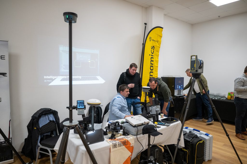
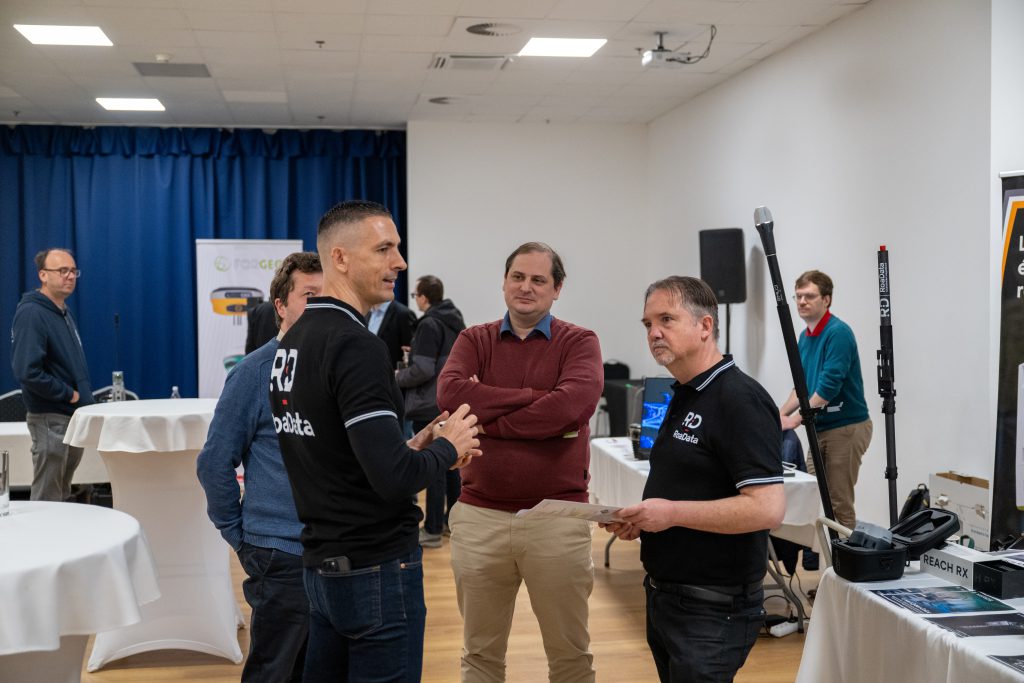
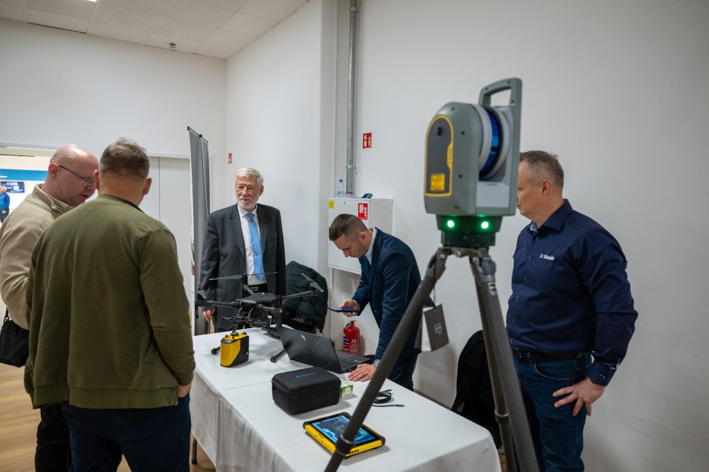
While the presentations were taking place, the adjacent room was filled with exhibitors and a variety of hardware, showcasing the latest advancements in laser scanners across a broad spectrum. We sincerely appreciate all the exhibitors for bringing their hardware to our event. This allowed participants to explore the equipment and approaches firsthand immediately after learning about their use cases during the presentations.
Our primary goal is to help land surveyors gain a better understanding of point cloud processing. To support this, we recorded all presentations, and they will be available on Youtube in a few weeks with English subtitles, ensuring accessibility beyond the Hungarian-speaking community.
Let’s check our gallery from the event below:
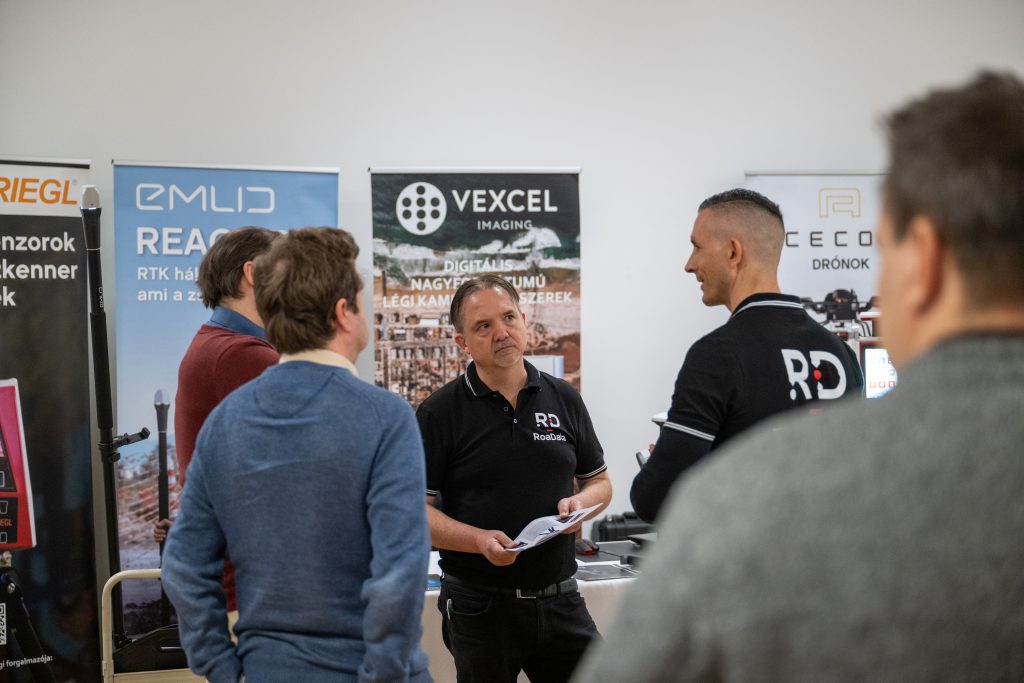
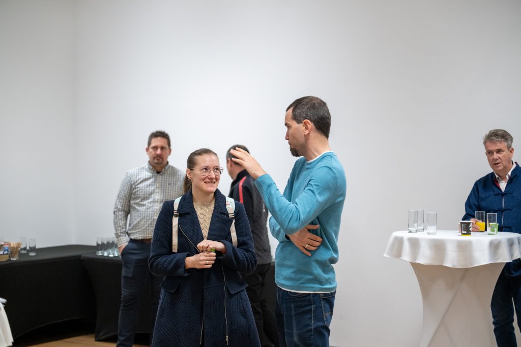
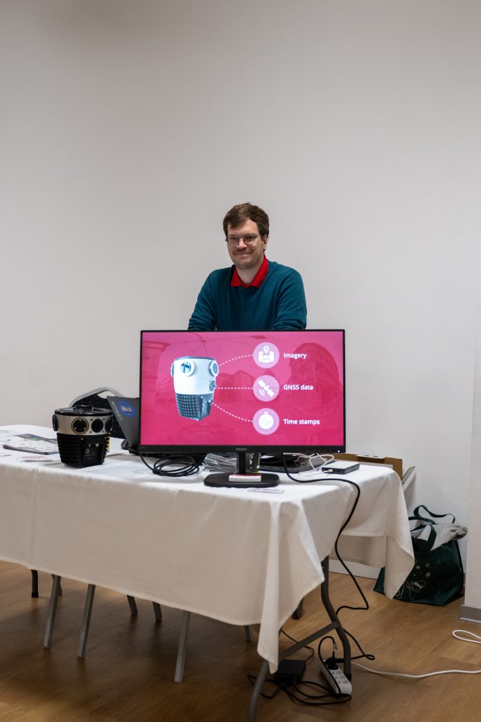
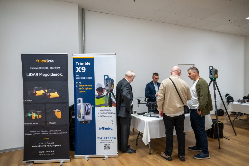
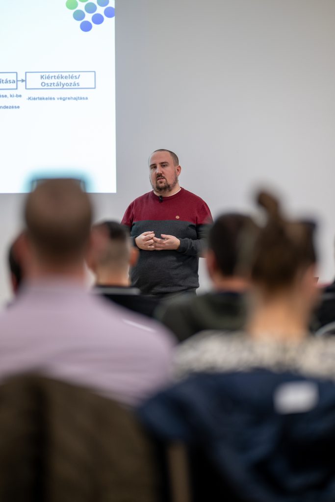
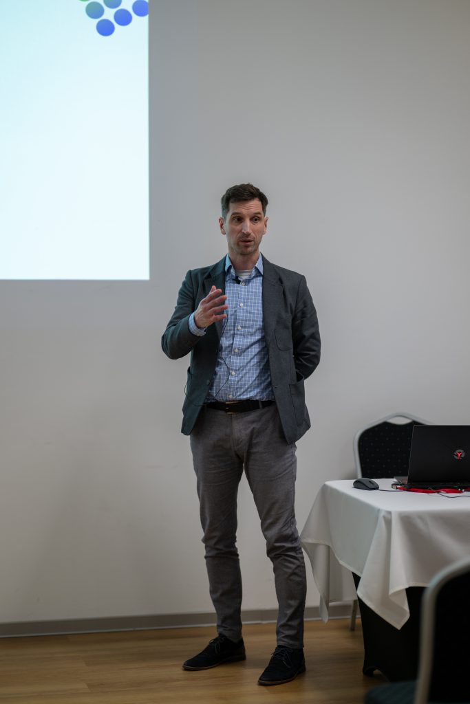
We extend our heartfelt gratitude to all participants and exhibitors! We look forward to seeing you again soon!
The list of exhibitors:
- 3D Geosolutions – https://www.3dgeosolutions.hu/
- Allterra Hungary – https://allterra-hungary.com/
- ForGeo – https://forgeo.hu/
- Mosaic51 – https://www.mosaic51.com/
- Navicom – https://navicom.hu/
- Geosite Kft – https://geosite.hu/
- RoaData – https://roadata.hu/
A special thank you to Balázs Szalay for capturing photos and recording videos of our event, allowing us to share the presentations with you!
See you next year!

