PointCloudScene offers a wide range of tools to help you to get the most out of your point clouds!
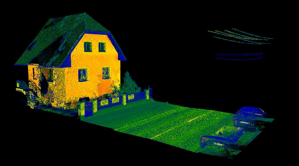
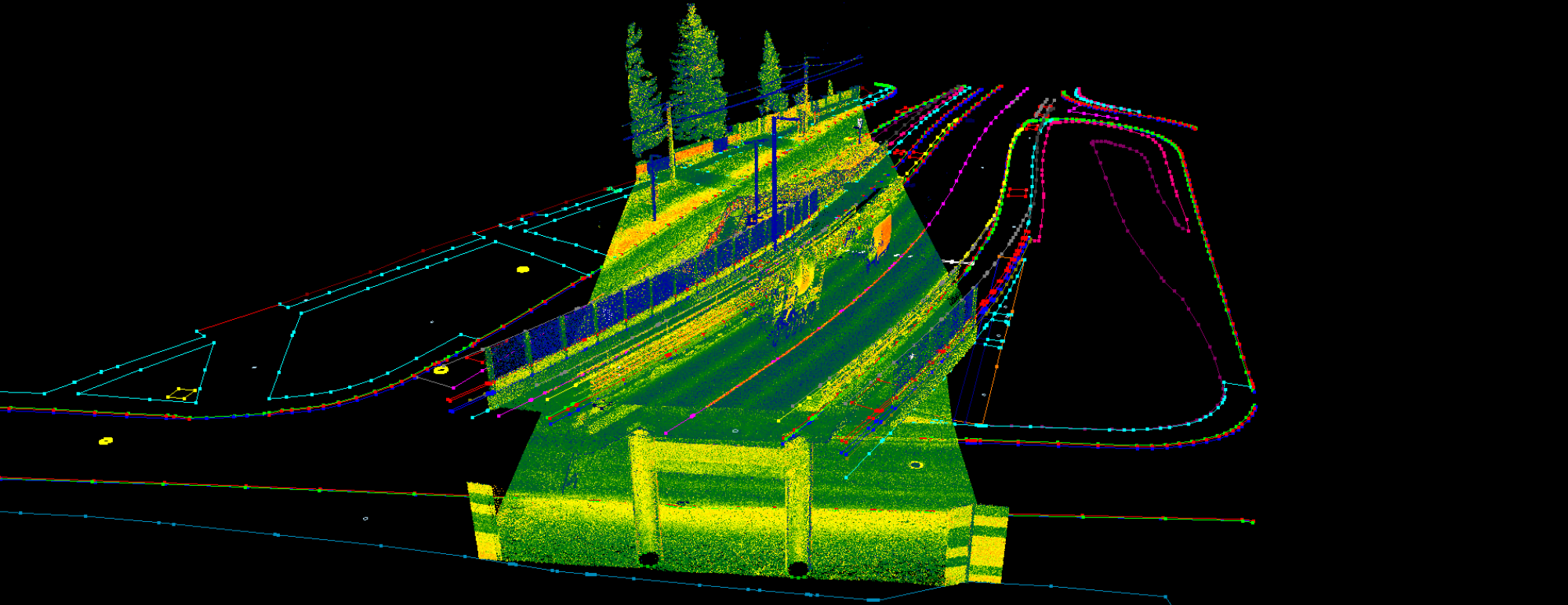
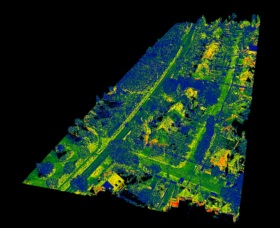
Customize the display to best fit for your eyes. Modify intensity range, combine elevation or classification display with intensity, or freely customize the used classes. PointCloudScene is capable of visualize the cloud based on intensity, classification, RGB color, and even more! Visualize data from terrastrial, mobile, airborne or unmanned scanners in a single software!
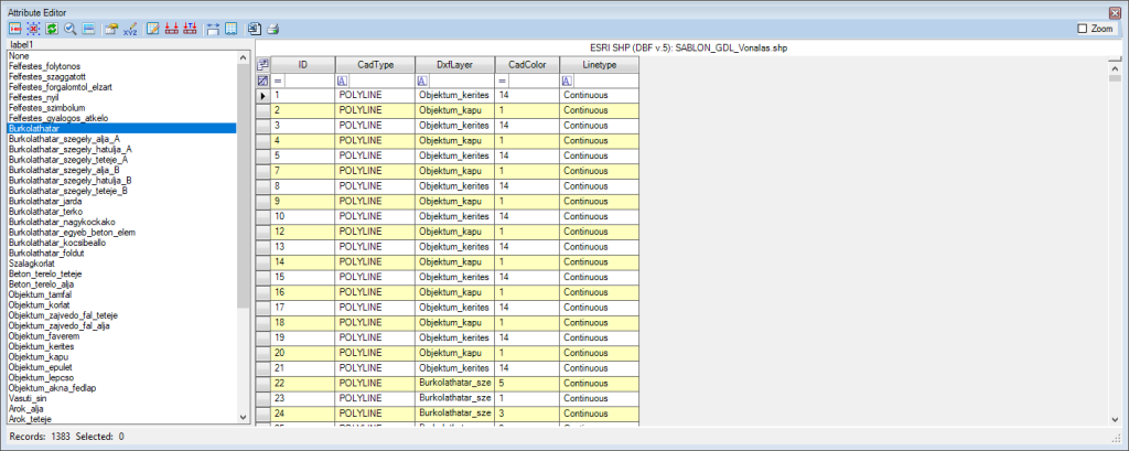
PointCloudScene uses a database approach, which makes easy to build GIS databases right from the point clouds. Extract vectors to DXF/DWG files is also supported! We offer more than 300 manual and semi-automatic tools for the best results!
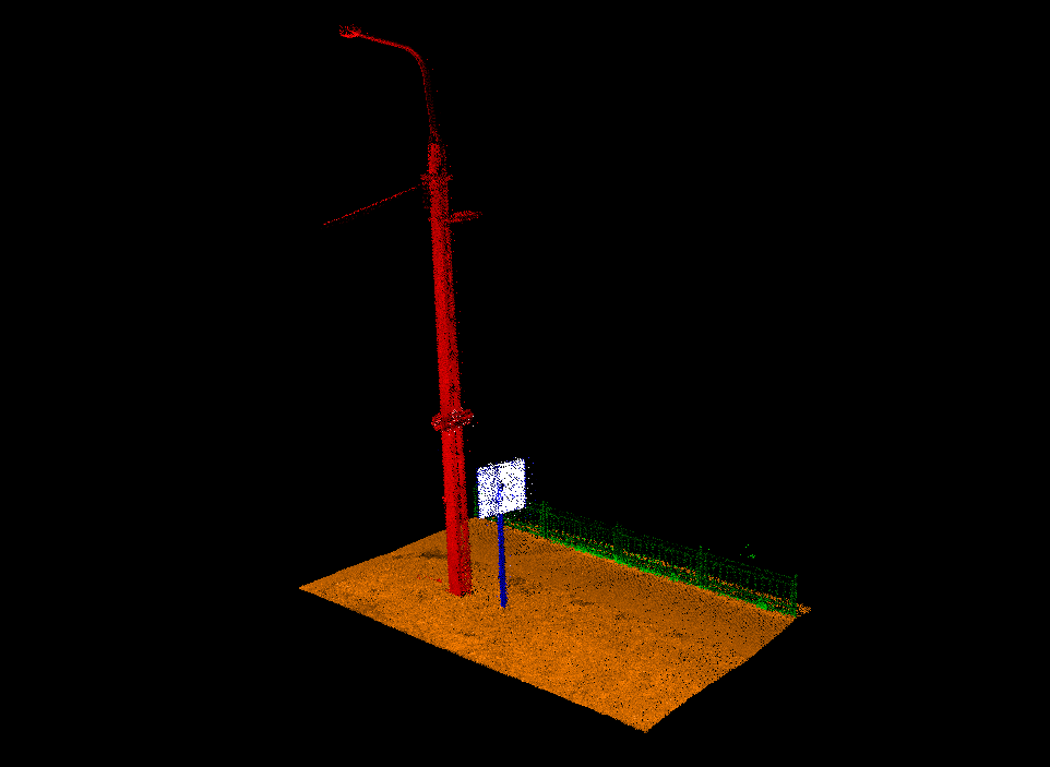
Classification tools can help companies to enhance automatic classification methods by hand, or classify fine details, remove noise, or fine tune a surface model based on specific classes!
Handle enermous amount of data in a single software! PointCloudScene can load over 100 GB of LAS file to a single project, and capable of visualise up to 256 million points fluently in 3D view, where the user can navigate freely.
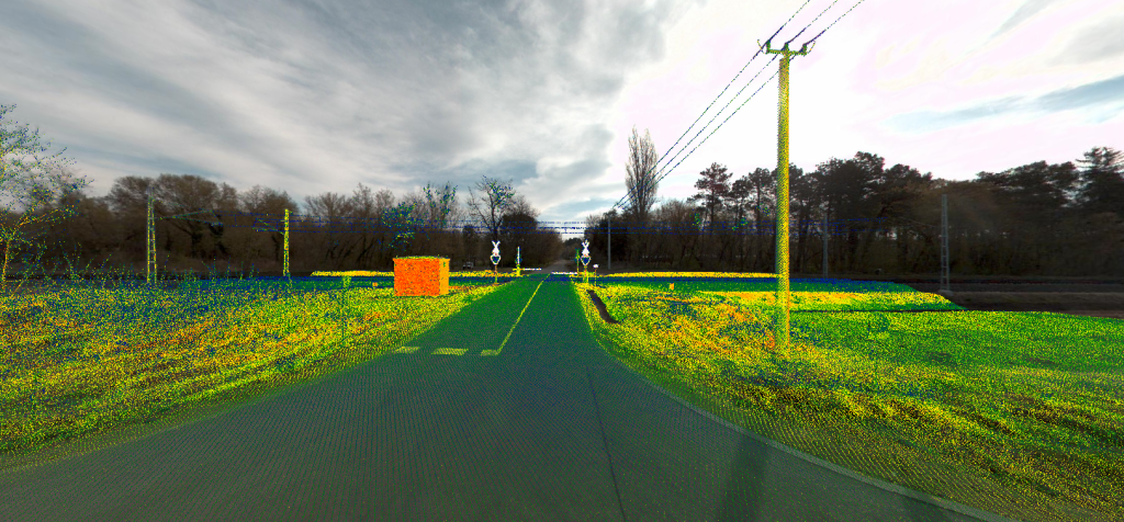
Compatible with TopoDOT and TerraPhoto image catalog formats to use the clouds and scan photos together! Georeferenced rasters also supported!
Independent software platform with various licensing options to fit your needs! Highly experienced support available! Contact us for trial!